|
| Borrego Springs: California R and H Borrego to Jasper |
| Rating | ***** |
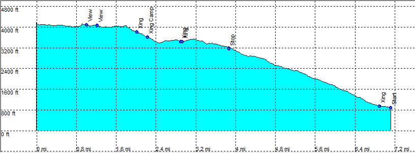
| length | 7.3 mile - 3 hour 30 minutes (one way). Moderate. |
| Height | 880 - 4160 feet |
| Access | All Cars, all paved. On Montezuma Valley Road, 1 mile south of the Visitor Centre, park in the parking area. |
| Other Trails | |
| Data | To download these files, right-click the link and choose 'save as' |--| .GPX (GPS file) |-----| .KML (Google Earth file) |